
Cougar Crest Trail
A steady north-shore climb to the Pacific Crest Trail with some of Big Bear's best elevated lake views.
Trail Quick Facts
Distance
4 miles round trip to PCT junction
Difficulty
Moderate
Elevation Gain
~750 ft
Dogs Allowed
Yes
At A Glance
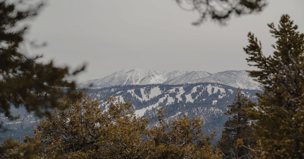
Cougar Crest is one of Big Bear's best moderate hikes for elevated lake views. The trail climbs about 2 miles from Highway 38 to the Pacific Crest Trail, gaining roughly 750 feet along the way.
About the Trail
Local Insight
If your goal is the view rather than simply logging miles, don't turn around too early. The trail becomes more rewarding as you climb, and the higher sections provide a much better perspective over Big Bear Lake than the lower approach.
Trailhead Directions & Parking
Loading trail...
Looking for another trail to explore together? See our complete Dog-Friendly Hikes in Big Bear Lake guide.
Important Trail Information
Dog Friendly Trail Reminder
Many Big Bear trails allow dogs, but mountain conditions can be more challenging than they appear. High elevation, warm summer temperatures, rocky terrain, wildlife, and limited water sources can all affect your dog's comfort and safety. Bring plenty of water, keep dogs leashed, and choose a trail that matches your pet's age, fitness level, and experience.
Terrain
Distance & Elevation
Gallery
Connecting & Nearby Trails
Safety Note:
Trail Information Disclaimer:
Trail conditions, access, parking, fees, closures and regulations can change due to weather, wildfire, seasonal restrictions, maintenance and other conditions. Information provided by Discover Big Bear Lake is for general planning purposes only. Always check current conditions and official Forest Service or managing-agency information before heading out, and use your own judgment regarding your abilities and conditions on the trail.
Need A Trail Map?
Visit the Big Bear Discovery Center on the North Shore to speak to a ranger, learn about trail conditions and access trail maps.
Need AN Adventure Pass?
Learn more about when an Adventure Pass is required to be displayed and where you can purchase one.
Frequently Asked Questions
How long is Cougar Crest Trail in Big Bear?
Cougar Crest Trail is about 2 miles one way from the trailhead to the Pacific Crest Trail junction, making the standard hike roughly 4 miles round trip. Continuing toward Bertha Peak makes the outing longer.
How difficult is Cougar Crest Trail?
Cougar Crest is a moderate mountain hike. The first mile climbs gradually, while the second mile becomes noticeably steeper. The route gains about 750 feet before reaching the Pacific Crest Trail.
Where do you park for Cougar Crest Trail?
Parking is available at the Cougar Crest Trailhead on Highway 38/North Shore Drive. It is a Forest Service recreation fee site, so an Adventure Pass or qualifying interagency pass is required. During operating hours, the Big Bear Discovery Center is another option about 0.6 mile away.
Are dogs allowed on Cougar Crest Trail?
Yes. Dogs are allowed on Cougar Crest Trail. Keep them leashed, carry extra water, and watch their paws on rocky or hot sections of trail.
Plan Ahead
Before you Hit the Trail
Best Time to Go
Late spring through fall offers the most reliable trail conditions. Morning hikes are usually cooler and less crowded during summer.
Bring Plenty of Water
Big Bear sits above 6,700 feet elevation, and the dry mountain air can dehydrate hikers faster than expected.
Wear Proper Footwear
Many trails include rocky terrain, loose dirt, roots, and uneven sections that can become slippery after rain or snow.
Check Conditions Before You Go
Weather, closures, snow, and trail conditions can change quickly in the mountains, especially during winter and spring.
Discover More Trails
North Shore
Alpine Pedal Path
3.2 miles
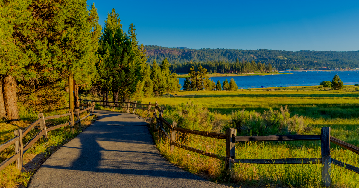
A paved, 3.2-mile lakeside trail perfect for biking, strollers, and easy walks. Get local intel on the 1E50.1 spur tunnel, eagle sightings, and the best parking at Stanfield Cutoff.
Stanfield Cutoff
Stanfield Marsh Boardwalk
Short Walk
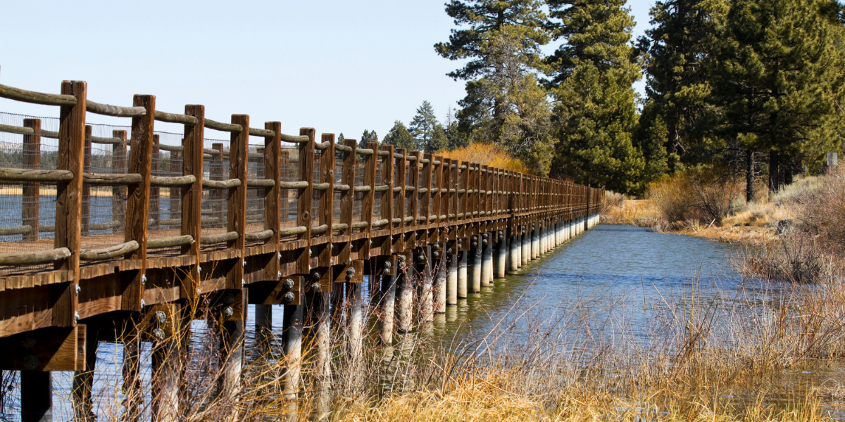
The Stanfield Marsh Boardwalk is an easy, scenic walk on the east end of Big Bear Lake, offering peaceful wetland views and some of the best birdwatching in the area.
North Shore
Discovery Center Nature Trail
0.5 mile Loop
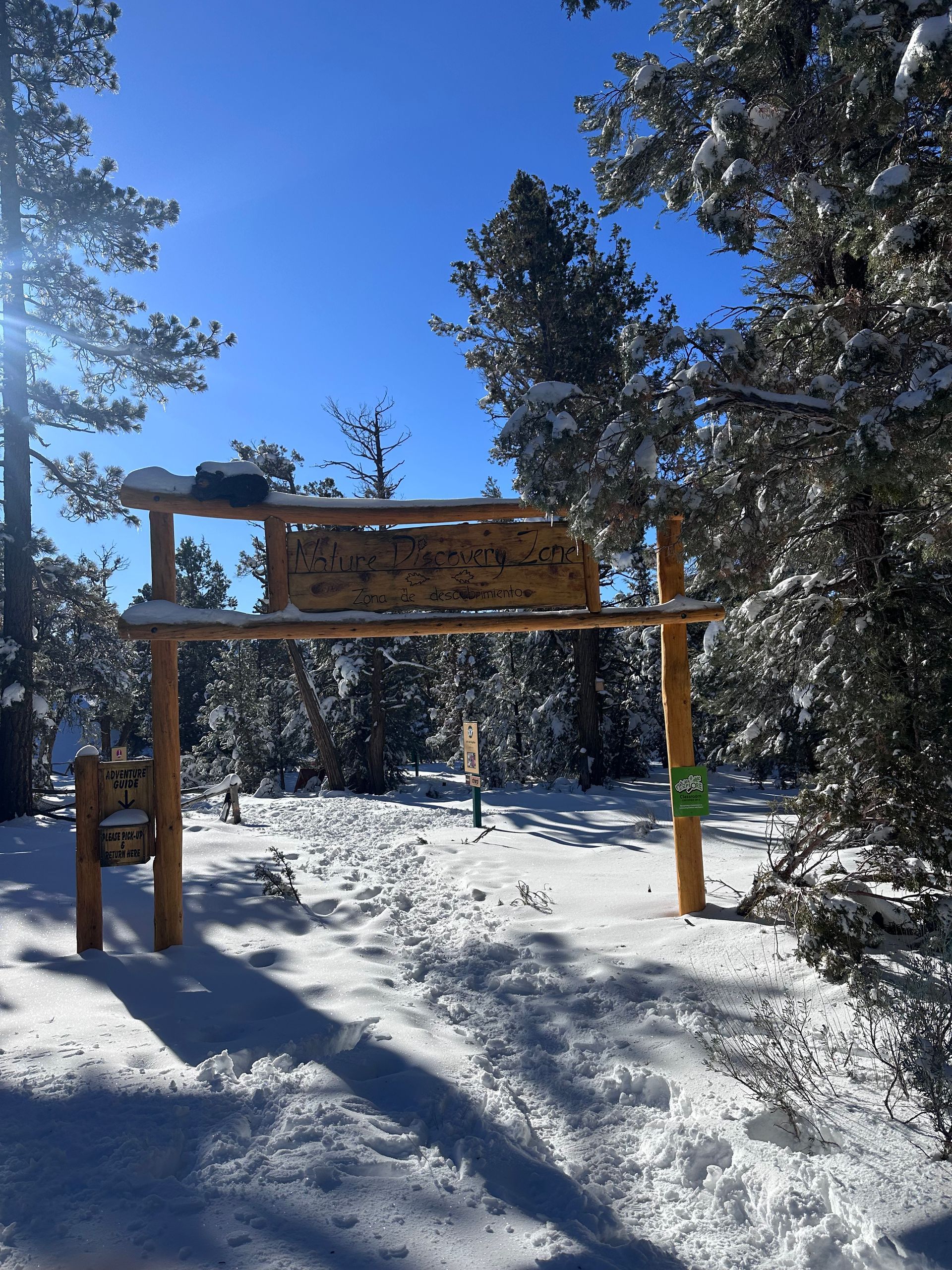
The Discovery Center Nature Trail is one of the most family-friendly walks in Big Bear Lake, offering a short, shaded loop through the forest with stations for kids to interact.
North Shore
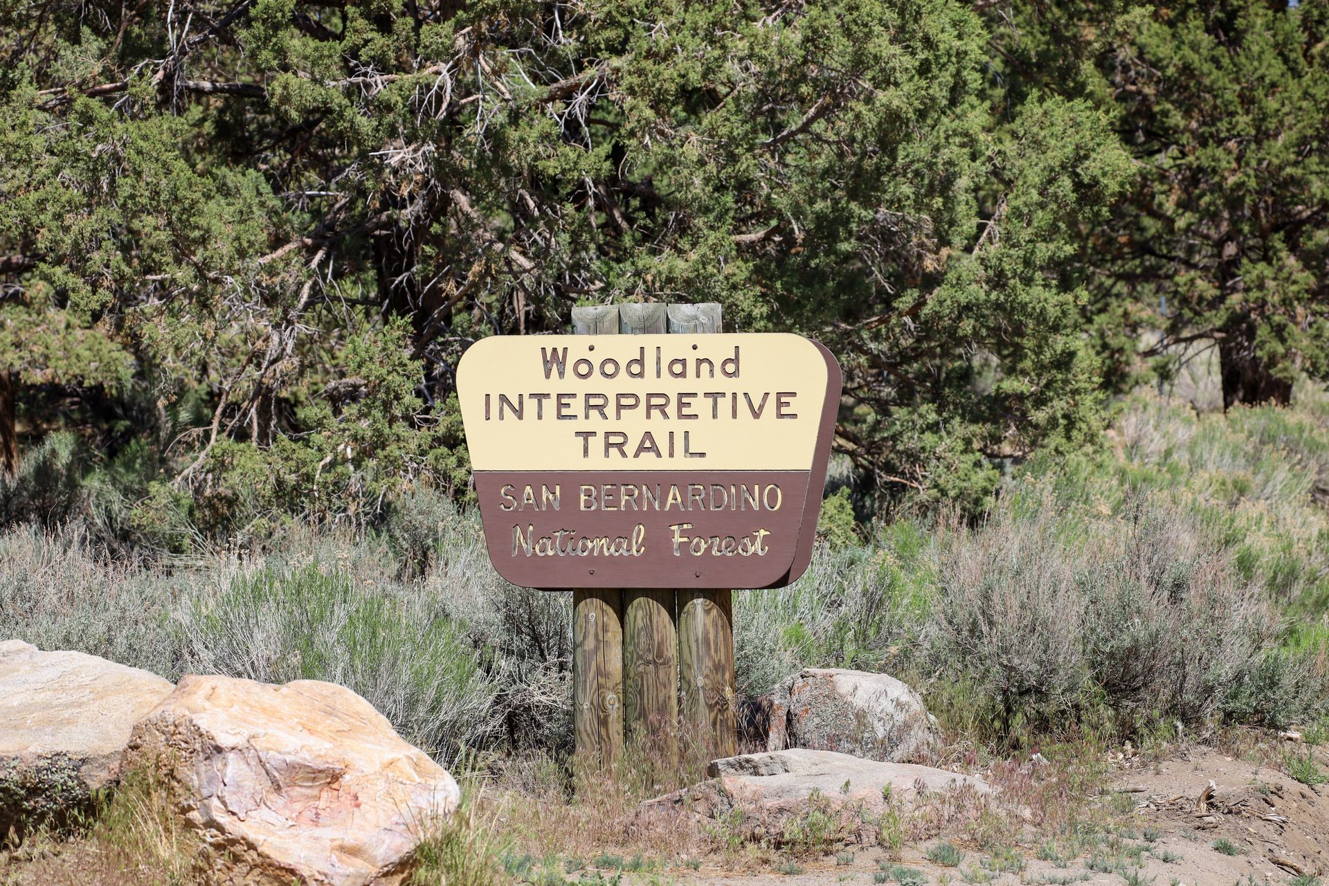
Woodland Interpretive Trail
1.5 miles
The Woodland Interpretive Trail is one of the best short hikes in Big Bear if you want a mix of forest walking, interpretive signs, and elevated lake views without committing to a long or difficult trail.
North Shore
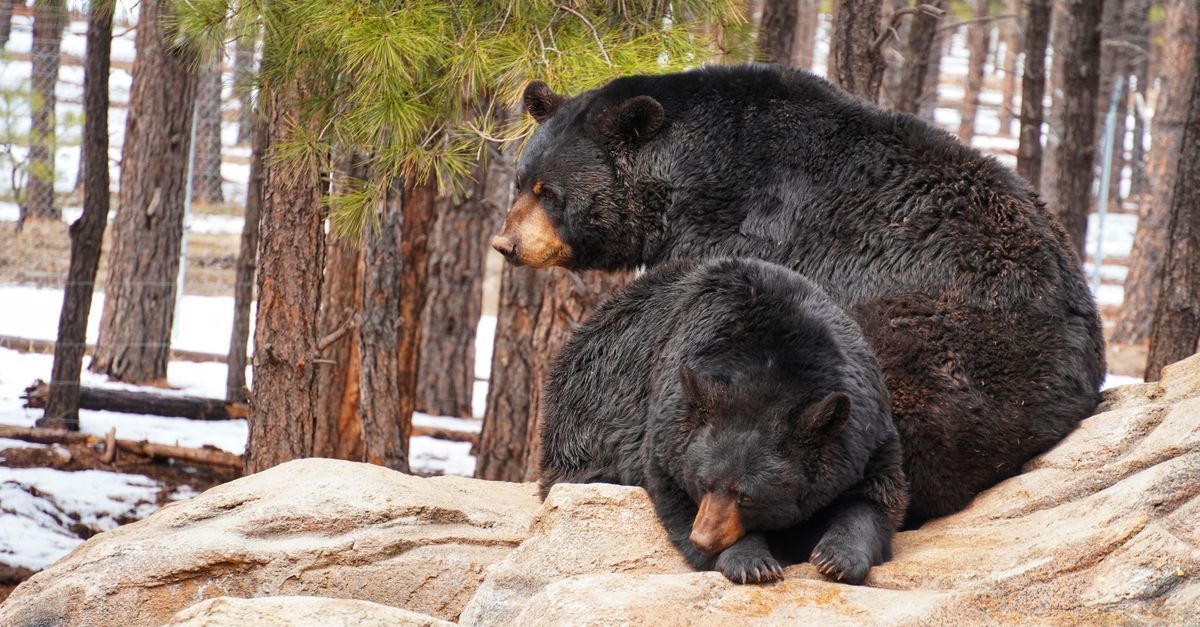
Cougar Crest Trail
4 miles round trip to PCT junction
A classic north-shore hike climbing above Big Bear Lake to the Pacific Crest Trail, with increasingly expansive lake and mountain views.
South Shore Backcountry
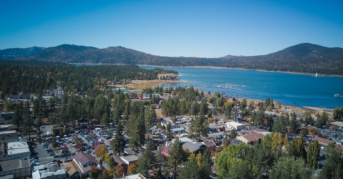
Champion Lodgepole Pine Trail
0.6 mile round trip
A short forest walk to one of California's largest known lodgepole pines, with a meadow and optional extension to Bluff Mesa.
South Shore / Knickerbocker
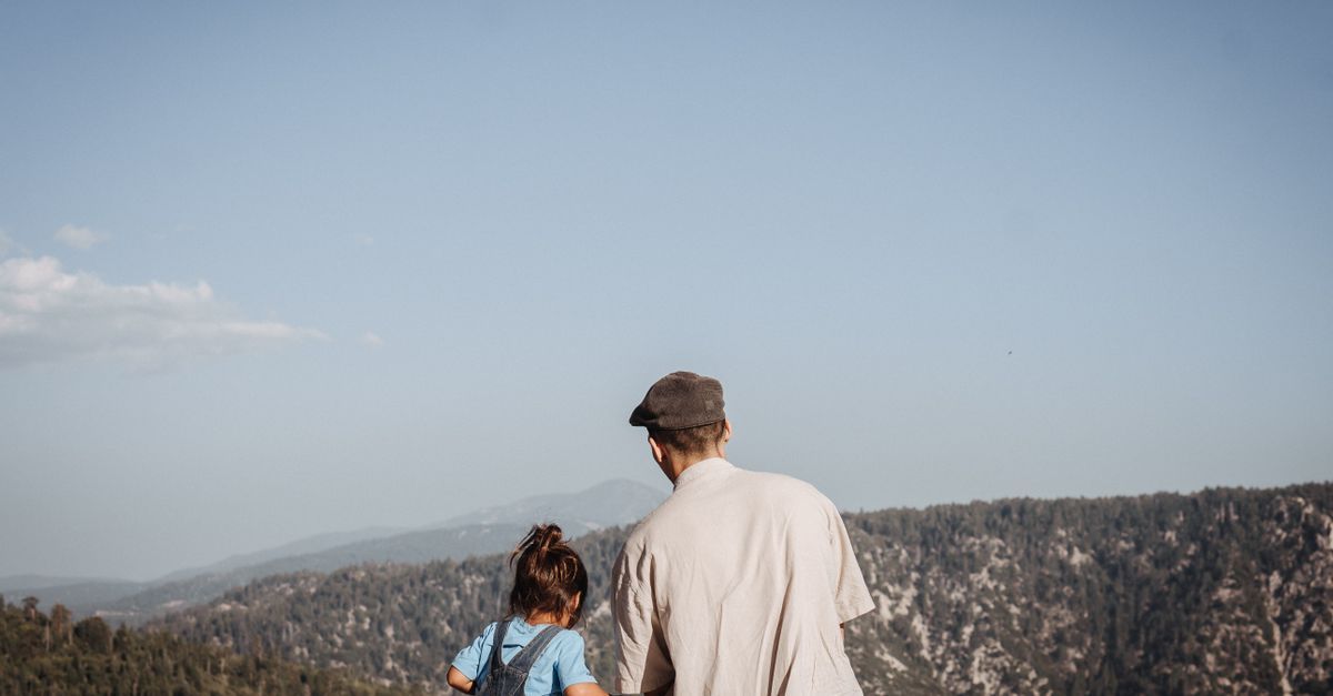
Towne Trail
3 miles round trip
A quieter 3-mile forest hike near town with minimal climbing, shaded trees and intermittent stream crossings.
South Shore
Skyline Trail
14.9 miles one way
A long multi-use south-shore trail through pine forest and mountain terrain, popular with hikers and mountain bikers and connected to the broader trail system.
Not sure which trail is right for you? Compare our best hikes in Big Bear Lake for different abilities and experiences.
Discover More of Big Bear Lake
There's so much to see and do in every season. Explore hiking trails, wildlife, attractions, and more.