 FASTEST FOR MOST VISITORS
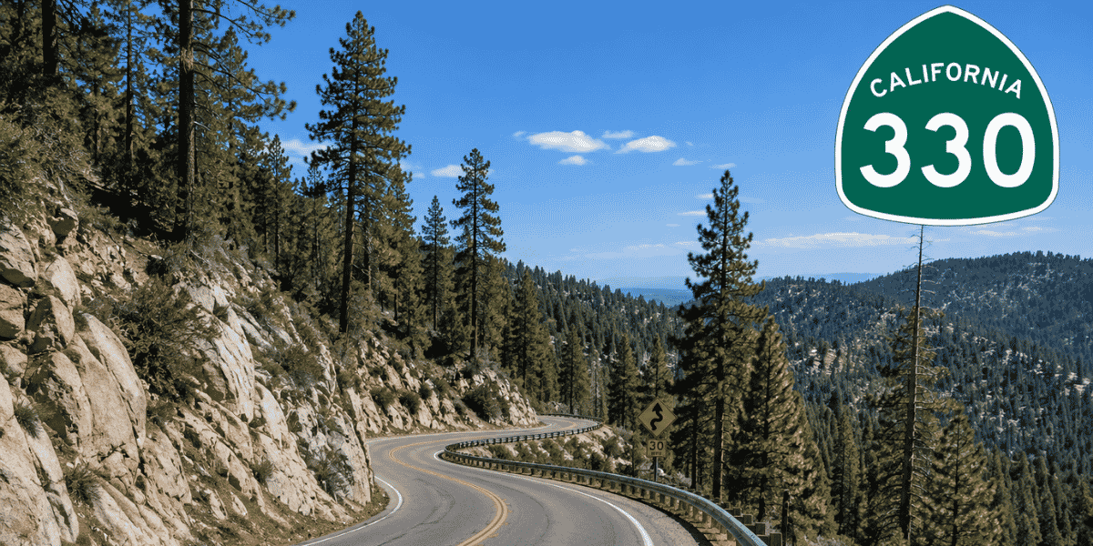
Highway 330 → 18
The most direct route for many visitors coming from Los Angeles, Orange County, and much of Southern California. This route is often the fastest when conditions are clear but includes a steeper mountain climb and more curves.
Best for:
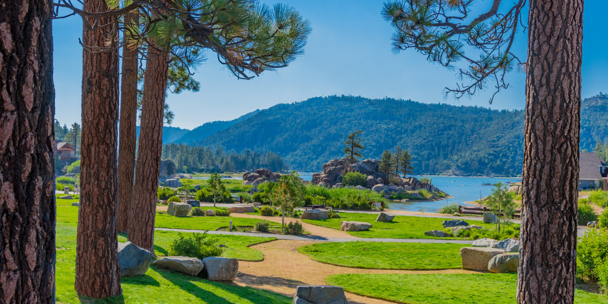
Los Angeles, Orange County, San Diego
Pros:
Typically Fastest route, Scenic Mountain Views
Consider:
More Traffic, More Curves, Steeper Climb
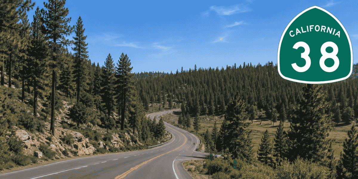
Highway 38 → 18 (Bear Blvd)
Highway 38 approaches Big Bear from the south and is known for its more gradual climb. Although it usually takes longer, many drivers find it less congested. Expect delays during weather as mudslides and ice are more common.
Best for:
Drivers Wanting a Gradual Climb
Pros:
Scenic Views, Gradual Incline
Consider:
Takes Longer, Subject to Mudslides & Ice
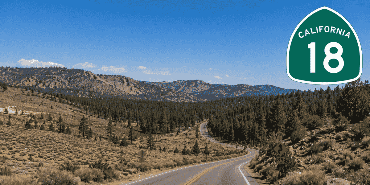
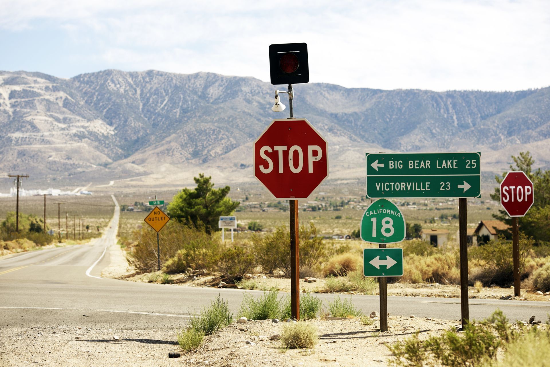
Highway 18 via Lucerne
Approaching from the High Desert, this route is often preferred by travelers coming from Las Vegas, Victorville, Apple Valley, and surrounding communities. It features a longer drive through the desert before climbing into the mountains.
Best for:
Travelers from Victorville, Las Vegas
Pros:
Less Mountain Curves, Least Traffic
Consider:
Least Scenic, Longer Drive