
Scenic Drive Around Big Bear Lake
Discover the Scenic Stops Around the Lake Loop
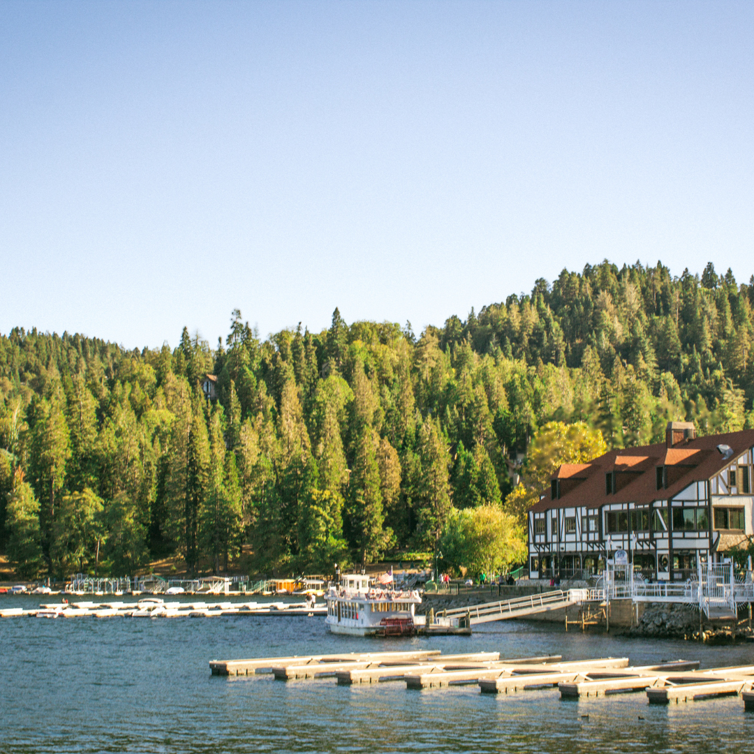
The most relaxing scenic drive in Big Bear Lake, this loop combines shoreline views, forest scenery, quiet pullouts, and some of the area’s most iconic stops. It’s perfect for first-time visitors, casual sightseeing, and exploring at your own pace.
Quick Notes
Distance
~ 15 miles
Drive Time
45 mins+
Road Condition
Paved
At A Glance
The most relaxing scenic drive in Big Bear Lake, this loop combines shoreline views, forest scenery, quiet pullouts, and some of the area’s most iconic stops. It’s perfect for first-time visitors, casual sightseeing, and exploring at your own pace.
Drive Overview
The drive around Big Bear Lake is approximately 15–20 miles depending on your route and stops. Without traffic or pullovers, the loop typically takes about 45 to 60 minutes. However, most visitors should realistically plan closer to 1.5 to 2 hours if stopping at viewpoints, walking trails, or lakeside parks.
The route follows:
- Big Bear Blvd along the south shore
- Stanfield Cutoff connecting the east end
- North Shore Drive along the quieter north side of the lake
Most people begin near The Village and complete the loop clockwise, though the drive works well in either direction. Traffic patterns can change the experience significantly throughout the day. The south shore near Boulder Bay, the dam, and The Village tends to become congested during weekends and holidays, while the north shore is usually calmer with easier pullouts and lighter traffic.
This drive works well for:
- First-time visitors
- Families
- Day trips
- Photography
- Casual sightseeing
- Pairing with short walks or picnic stops
Adventure pass
Many popular stops along Big Bear's scenic routes are located on National Forest land where an Adventure Pass may be required.
Traveling with A Dog?
Most dogs do well on this drive since there are plenty of parks, marinas, and lakeside stops where you can get out and stretch your legs. While the road follows the shoreline and includes some curves, it's generally an easy drive with frequent opportunities for breaks.
Best Stops Along The Way
Stanfield Marsh
Stanfield Marsh Wildlife and Waterfowl Preserve is one of the best first stops on the loop, especially for birdwatching and quiet lake views. Recent improvements added a parking area, restrooms, and an accessible boardwalk, making it one of the easiest scenic stops for all ages.
Early mornings and evenings are often the best times to spot ducks, geese, herons, and other waterfowl.
Alpine Pedal Path
The Alpine Pedal Path follows the north shore of the lake and offers one of the easiest ways to experience the shoreline up close. The paved path is popular for walking and biking and works well for visitors who want a short scenic stop without committing to a full hike.
The east end views near Stanfield Cutoff are especially scenic in the morning when the lake is calm.
Woodland Interpretive Trail
Located near the Big Bear Discovery Center, the Woodland Interpretive Trail is a short self-guided loop through the forest. Interpretive signs explain the local ecosystem, native plants, and forest management, making this one of the more educational stops around the lake.
The trail is mostly flat and family-friendly.
View the Woodland Interpretive Trail →
Juniper Point
Juniper Point Picnic Area is one of the quieter shoreline stops along North Shore Drive. Compared to the busier south shore, this area typically feels calmer and less crowded, making it a good place for a picnic or quick lakeside break.
Big Bear Discovery Center
The Big Bear Discovery Center is one of the most valuable stops for visitors planning additional outdoor activities. Forest rangers can provide updated trail conditions, weather information, wildlife activity, and current closures throughout the San Bernardino National Forest.
There’s also a short Discovery Trail behind the center that offers an easy forest walk.
Fawnskin
Fawnskin offers a quieter, more residential feel compared to the south shore. While there are fewer businesses here today, the drive through this stretch gives visitors a better sense of the calmer side of Big Bear Lake.
Grout Bay Picnic Area
When open, Grout Bay is one of the most peaceful lakeside stops on the north shore. Seasonal closures are common during bald eagle nesting season to help protect local wildlife habitats.
If accessible during your visit, the hill above the picnic area offers excellent elevated lake views.
Big Bear Dam Overlook
The Big Bear Dam overlook provides one of the best panoramic perspectives of the lake. From here, you can clearly see changing lake levels, surrounding mountains, and much of the shoreline in a single view.
This is also one of the easiest scenic pullouts directly along the route.
Boulder Bay Park
Boulder Bay Park is one of the most photographed locations in Big Bear Lake and a favorite final stop before returning toward The Village. Massive granite boulders rise directly from the shoreline, creating one of the lake’s most recognizable landscapes.
Late afternoon lighting here is often especially scenic.
Best Time of Year
The drive around Big Bear Lake is scenic year-round, but the overall experience changes quite a bit by season.
Spring
Spring brings greener forests, cooler temperatures, and fewer crowds. Snow may still be visible on surrounding peaks during early spring.
Summer
Summer offers the clearest weather and fullest access to trails, parks, and pullouts, but it is also the busiest season. Weekend traffic around Boulder Bay and The Village can become heavy.
Fall
Fall is one of the best times for the drive thanks to cooler temperatures, lighter crowds, and seasonal color around parts of the lake and surrounding forest.
Winter
Winter can be incredibly scenic when snow is present, especially around the north shore and forested areas. However, winter weather can also bring chain requirements, icy roads, and temporary closures during storms.
Featured Wildlife Guides
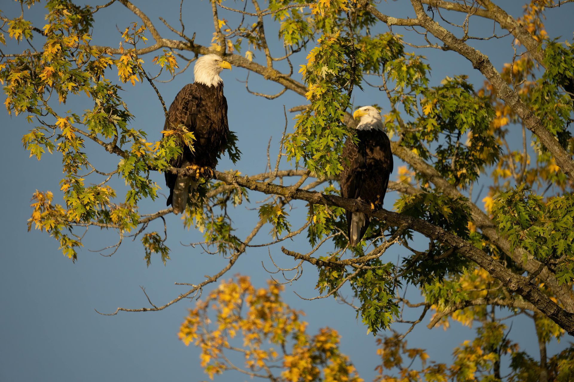
Best spots & seasonal tips
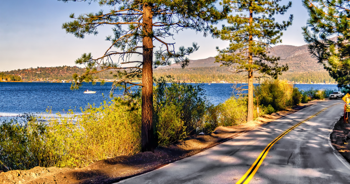
Scenic drive route & tips
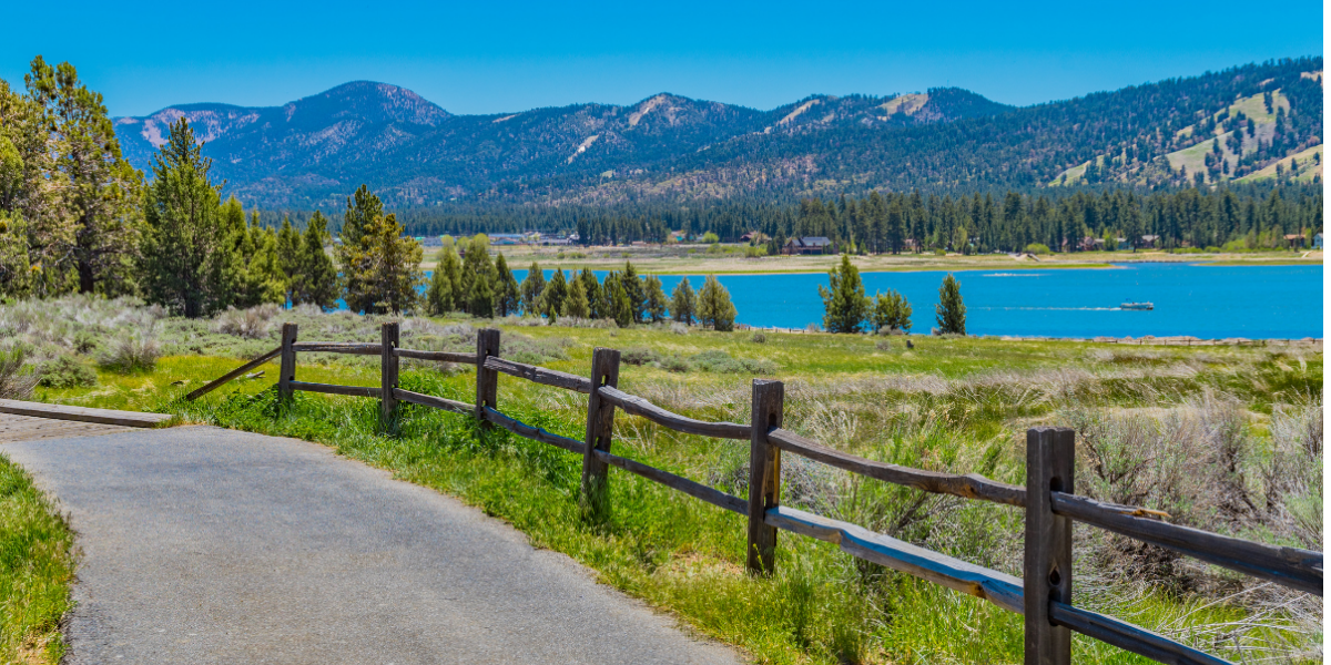
Easy walk with big views
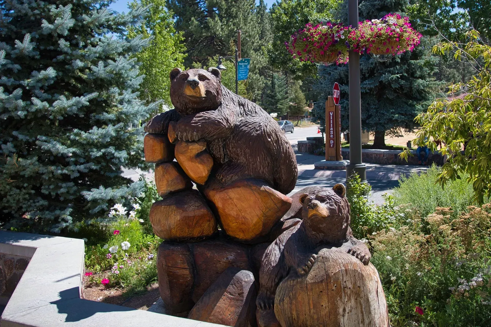
Big Bear's Downtown
Things to Know Before you Go
Mountain Roads
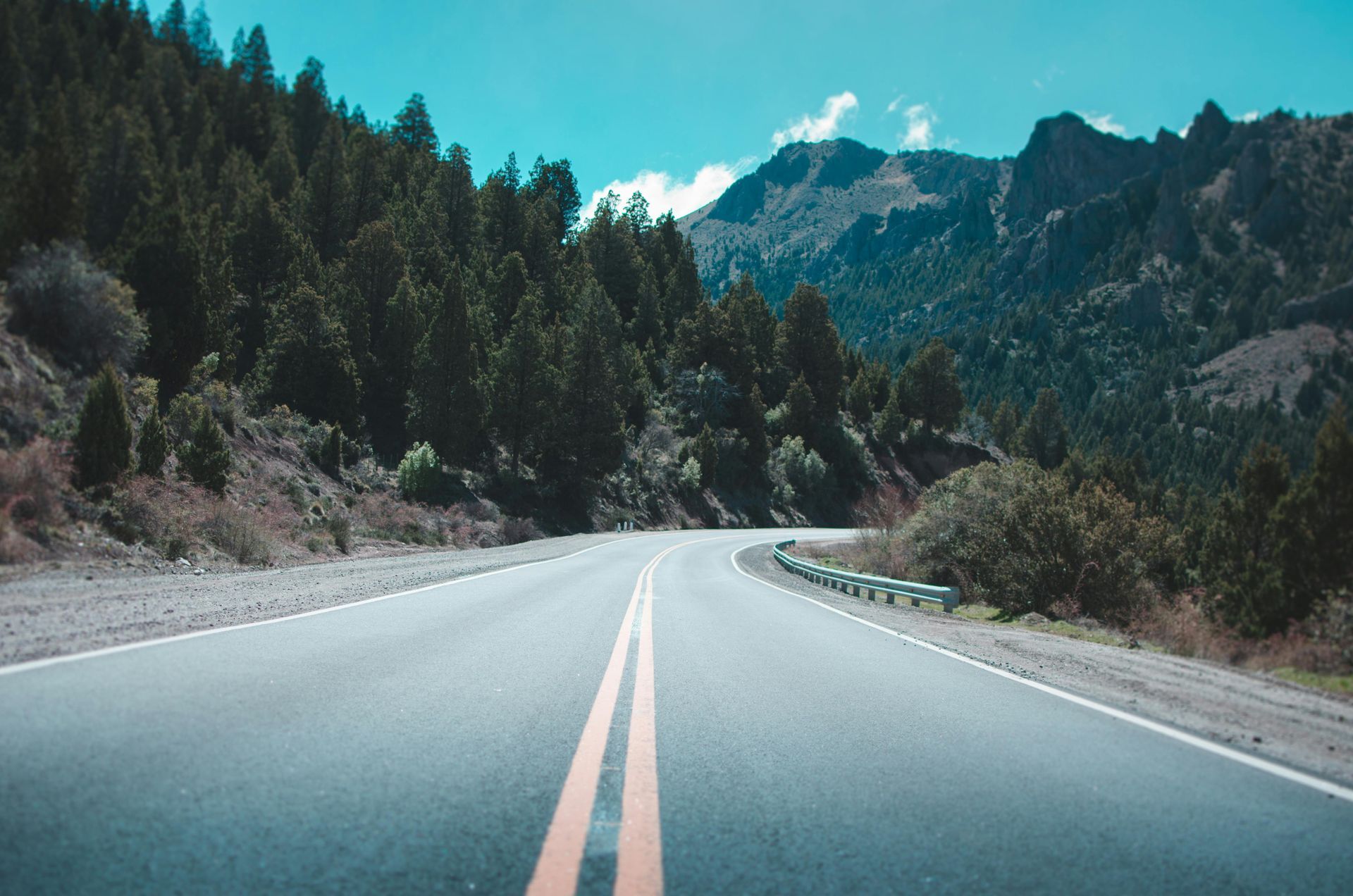
Although this is one of the easier scenic drives in the San Bernardino Mountains, you are still driving at elevation on mountain roads. Expect curves, changing weather, cyclists along portions of the roadway, and occasional slow-moving traffic during busy weekends.
Take your time and use designated pullouts safely rather than stopping along narrow shoulders.
Check the Weather
Mountain weather changes quickly throughout the year. A sunny morning can turn into afternoon rain, snow, wind, or fog depending on the season. Dress in layers and check conditions before leaving.
Fuel Up
Gas stations become less common outside the main town areas, especially on longer scenic drives. It’s best to fuel up before starting your route, particularly during weekends and busy holiday periods.
Cell Service
Cell service can become unreliable in parts of the San Bernardino Mountains, especially near forest roads, overlooks, and canyon areas. Download maps offline if possible and avoid relying entirely on GPS navigation.
Wildlife
Wildlife sightings are common throughout the area, especially during early morning and evening hours. Deer, hawks, coyotes, and even black bears may be seen near forested sections of the drive. Slow down and stay alert.
Safety Note:
Scenic Drive Information Disclaimer: Road conditions, closures, construction, weather, travel times and access can change without notice, particularly in mountain areas. Discover Big Bear Lake provides route information for general trip-planning purposes only. Always check current road and weather conditions with official sources before departing and follow posted signs, closures and traffic restrictions.
Discover More
Explore More Scenic Drives
Keep exploring Big Bear and the surrounding mountains with more scenic drives, from lakeside routes to mountain highways and easy day trips.
Discover More of Big Bear Lake
There's so much to see and do in every season. Explore hiking trails, wildlife, attractions, and more.