If you’re searching for “Big Bear Lake Mountain,” you’re not alone — thousands of visitors type this exact phrase every month while planning their trip. But here’s the truth:
There is no official mountain named “Big Bear Lake Mountain.”
Instead, people use the term to refer to:
- The mountains surrounding Big Bear Lake
- The region’s two ski areas — Snow Summit and Bear Mountain
- Hiking trails and viewpoints overlooking the lake
- Popular summits in the San Bernardino Mountains
This guide breaks everything down simply — and highlights the best trails, summits, and scenic views around Big Bear Lake from a local’s perspective.
What Is “Big Bear Lake Mountain”?
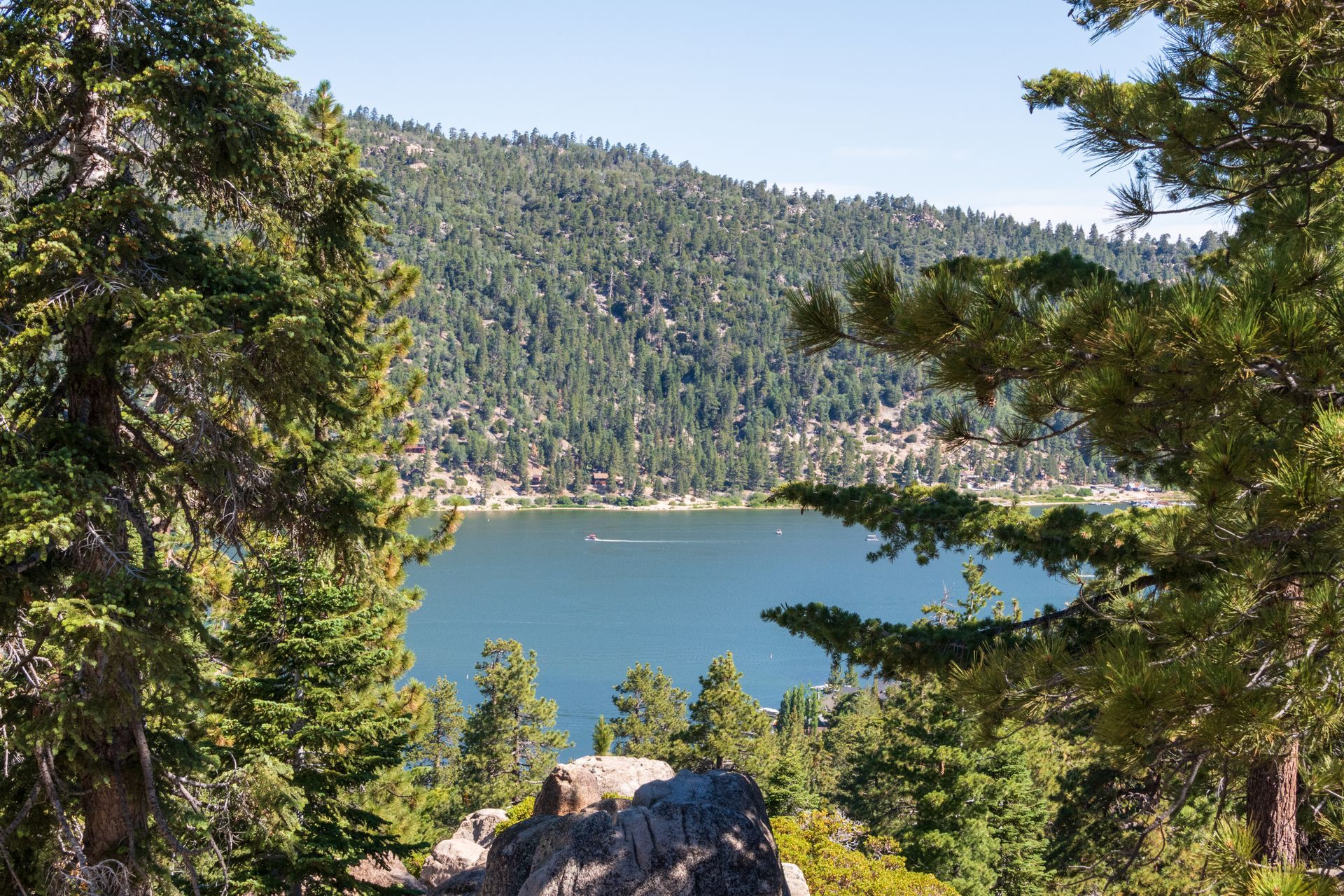
Big Bear Lake is not one single mountain — it’s a high-elevation alpine valley surrounded by peaks on all sides. The town sits at 6,750 ft within the San Bernardino Mountains, one of Southern California’s highest ranges.
When visitors say “Big Bear Lake Mountain,” they usually mean:
✔ The mountain peaks surrounding the lake
✔ The two major ski areas (Snow Summit + Bear Mountain)
✔ Trails and summits with the best viewpoints
So instead of being one mountain, Big Bear is actually a mountain basin with dozens of scenic vantage points.
This is good news — because you have MANY places to explore.
Best Trails Around Big Bear Lake
These are the most popular and scenic trails with lake views, easy access, and strong search demand.
Castle Rock Trail
Difficulty: Moderate
Distance: 2.6 miles round-trip
Why It’s Popular:
- Iconic granite boulders
- Lake overlook at the top
- One of the most photographed views in Big Bear
Local Tip:
Go early to avoid crowds and get parking along the highway.
Pine Knot Trail to Grand View Point
Difficulty: Moderate
Distance: 7 miles round-trip
Why It’s Popular:
- Forested single track
- Shaded and peaceful
- Ends at an incredible viewpoint over the Big Bear Valley
Local Tip:
You can take the
Sky Chair up and hike down for an easier day.
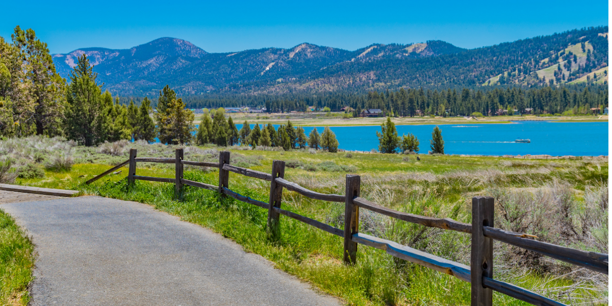
Alpine Pedal Path (Easy)
Difficulty: Easy
Distance: 3.5 miles
Why It’s Popular:
- Flat, paved, family-friendly
- Lake-level views
- Perfect for biking or strollers
Local Tip:
Come at sunrise or sunset for golden reflections on the lake.
Cougar Crest Trail to Bertha Peak
Difficulty: Moderate–hard
Distance: 5 miles round-trip
Why It’s Popular:
- Sweeping panoramic views
- Connects to the Pacific Crest Trail
- Bertha Peak summit is one of the best viewpoints in Big Bear
Local Tip:
Bring layers — it’s windy at the top even in summer.
Best Summits Near Big Bear Lake
These peaks offer the best high-elevation viewpoints and photo opportunities.
Bertha Peak
Elevation: ~8,200 ft
Why It’s Great:
- Full panoramic view of the lake
- Moderate hike
- Fantastic sunset spot
Snow Summit Peak
Elevation: 8,200 ft
Why It’s Great:
- Accessible via Sky Chair
- Easy summit walking trails
- Best family-friendly summit experience
Sugarloaf Mountain
Elevation: 9,952 ft
Why It’s Great:
- Highest peak in the Big Bear region
- Challenging hike
- Quiet, remote, and rewarding
Gold Mountain
Elevation: 8,435 ft
Why It’s Great:
- Excellent for off-roading
- Rugged terrain
- Overlooks the north shore and Baldwin Lake
Best Scenic Views Around Big Bear Lake
If you just want amazing views without a strenuous hike, these spots are perfect.
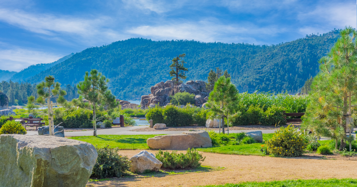
Boulder Bay Park
- Best lakeside photo backdrop
- Huge granite boulders
- Beautiful year-round
Snow Summit Sky Chair
- The easiest way to reach a summit
- Great for families
- Operates spring–fall
Stanfield Cutoff
- Calm water reflections
- Best at sunrise
- Popular for photographers
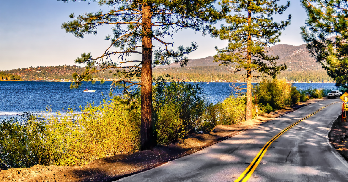
The Dam (West End of the Lake)
- Unique angle of the lake
- Mountain backdrop
- Great in afternoon light
Tips for Visiting the Mountains Around Big Bear Lake
- Check road conditions before driving up -Weather changes fast — and chain restrictions happen frequently in winter.
- Elevation changes dramatically - It can be 20–30° colder at the summit than at lake level.
- Parking fills early - Especially for Castle Rock Trail, Snow Summit, and Bear Mountain.
- Bring water even in winter - High altitude dehydrates quickly.
- Download maps offline - Cell reception can be inconsistent on certain trails.
Local tips, seasonal guides, trip ideas, and more—delivered to your inbox.
Newsletter Side Bar
We will get back to you as soon as possible.
Please try again later.
Get the Big Bear Guide
Featured Guides
Best spots & seasonal tips
Scenic drive route & tips
Easy walk with big views
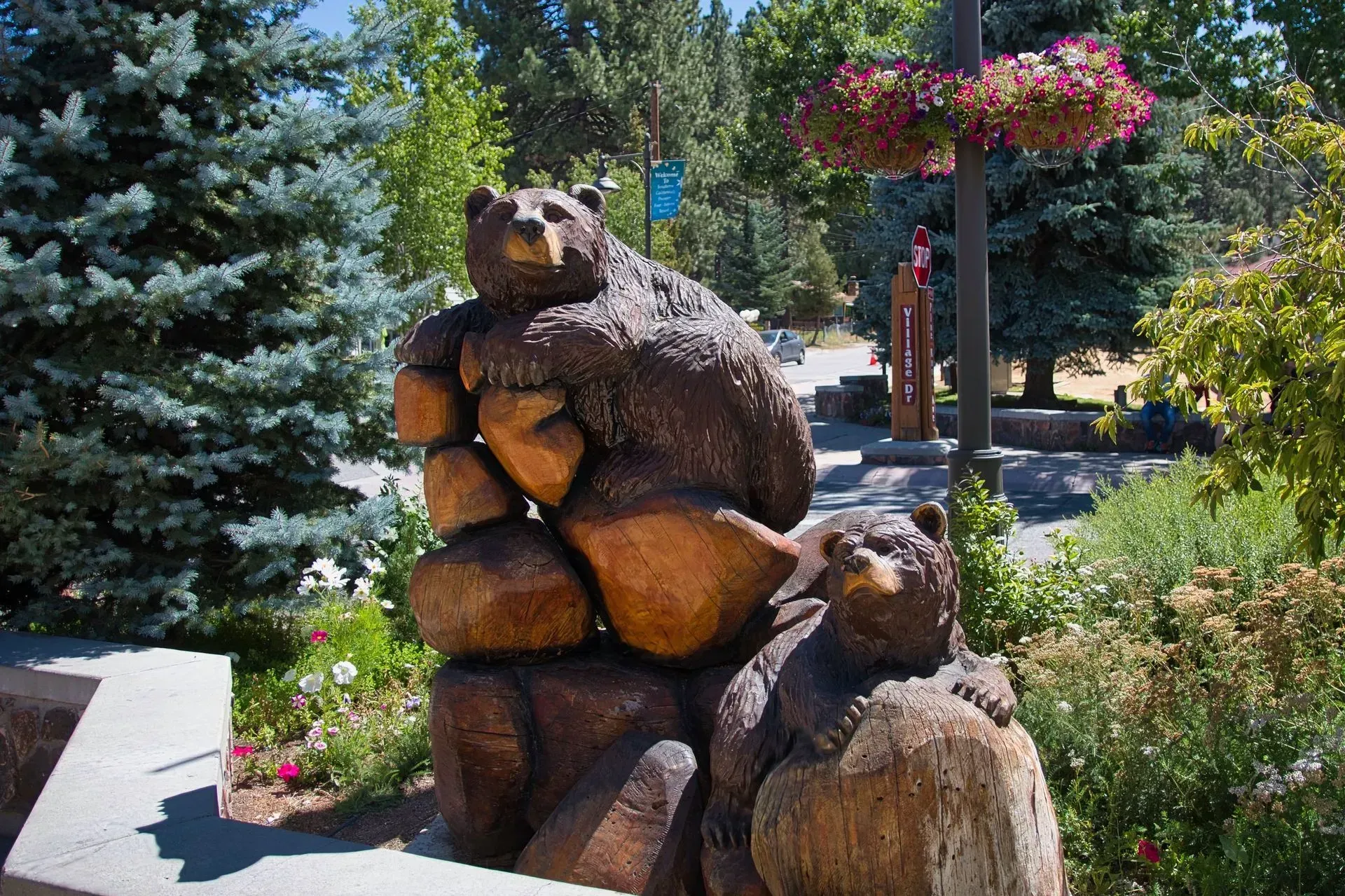
Big Bear's Downtown
Local Favorites
COntinue Exploring Big Bear
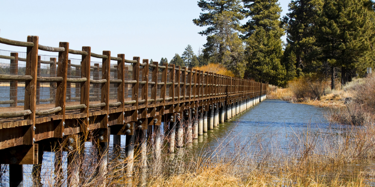
Boardwalk over the Stanfield Marsh & Wildlife Preserve.